Unprecedented Atlas of Mars
- Apr 27, 2023
- 2 min read
3,000 detailed images stitched together to create a new visualisation of the Red Planet - thanks to the most successful space mission ever completed by a Middle East country.

The atlas was created by a team from New York University Abu Dhabi (NYUAD) and the United Arab Emirates (UAE) Center for Space Science, and far from being merely a display piece for science classrooms, the high-resolution map could help scientists answer a number of pressing questions about Mars including how it came to be a dry, arid, and barren landscape despite once being abundant with liquid water.
“We plan to make our map available to the entire planet, as part of the new and more advanced Atlas of Mars, which we have been working on, and will be available in both English and Arabic once published,” said NYUAD group leader and research scientist Dimitra Atri.
“The hope is that this accessibility will make it a great tool for researchers, and also students to learn more about Mars, and showcase the possibilities that the space sector in the UAE can offer.”
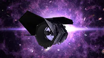
The Emirates Mars orbiter Hope (Al-Mal) equipped with the Emirates Exploration Imager, launched in July 2020 from Japan, and the map it has succeeded in producing reveals the Red Planet at a level of detail never before captured at this scale.
You can view all the maps within the atlas here on the NYUAD website